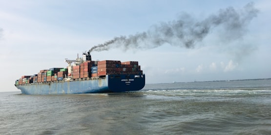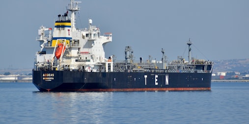
Florida seaports brace for Idalia’s impact

googletag.cmd.push(function() { var gptSlot = googletag.defineSlot(‘/21776187881/FW-Responsive-Main_Content-Slot1’, [[728, 90], [468, 60], [300, 100], [320, 50]], ‘div-gpt-ad-b1-i-fw-ad-6’).defineSizeMapping(gptSizeMaps.banner1).setCollapseEmptyDiv(true).addService(googletag.pubads());
gptAdSlots.push(gptSlot);
});

googletag.cmd.push(function() { googletag.display(‘div-gpt-ad-b1-i-fw-ad-6’); });

Ports along Florida’s coasts are preparing for Tropical Storm Idalia, which is expected to hit the...

https://www.freightwaves.com/news/florida-seaports-brace-for-idalias-impact

Tropical Storm Idalia forecast to become major hurricane

Tropical Storm Idalia is gaining strength and is expected to become a major hurricane before making landfall on the Florida Gulf Coast later this week.

As of 5 a.m. EDT Monday, Idalia was located about 90 miles south of the western tip of Cuba and was moving north at 8 miles per hour. 

The storm currently has maximum sustained winds of 65 mph.

The National Hurricane Center warned that as Idalia moves across warmer waters in the Gulf, it will rapidly intensify over the next 24 to 48 hours. 

Idalia...

https://www.freightwaves.com/news/tropical-storm-idalia-forecast-to-become-major-hurricane

Tropical Storm Ian forms in Caribbean

Evacuation route sign.

Tropical Storm Ian has formed in the Caribbean Sea, just south of Jamaica, with maximum sustained winds of 45 miles per hour.

Ian is expected to remain over the ocean until early Monday morning, where it is then forecast to become a major hurricane before it moves over the island of Cuba and into the Gulf of Mexico. 

On Saturday, Jamaica was under a tropical storm watch and the Cayman Islands were under a hurricane watch. The National Hurricane Center said the storm could bring heavy rainfall...

https://www.freightwaves.com/news/tropical-storm-ian-forms-in-caribbean

19 storms forecast to develop this hurricane season

For the third year in a row, forecasters with the Colorado State University tropical weather and climate research group are calling for a busy hurricane season.

They said we’re likely to see above-average numbers of hurricanes, major hurricanes (Category 3 or stronger) and total named storms (hurricanes plus tropical storms) in the Atlantic basin, which includes the western Atlantic, the Caribbean and the Gulf of Mexico.

Related: Disaster relief nonprofits fighting supply shortfalls

The potential...

https://www.freightwaves.com/news/19-storms-forecast-to-develop-this-hurricane-season

Wanda becomes 21st named storm of Atlantic hurricane season

Satellite animation of Subtropical Storm Wanda in the North Atlantic.

The system that flooded parts of the Northeast on Friday moved far into the Atlantic over the weekend. By Saturday night, it became Subtropical Storm Wanda, the 21st named storm of the Atlantic hurricane season.

Based on where it is located and where it is forecast to go, Wanda will not be a direct threat to anyone on land. However, minor impacts on shipping lanes are possible and container ship captains will have to steer clear of the storm.

Wanda was still swirling around the north-central...

https://www.freightwaves.com/news/wanda-becomes-21st-named-storm-of-atlantic-hurricane-season

Hurricane Sam churns toward Caribbean, Bermuda with 130-mph-plus winds

Satellite animation of Hurricane Sam in the tropical Atlantic.

Hurricane Sam continued inching across the tropical Atlantic over the weekend, gaining strength in the warm waters.

By Sunday morning, Sam was a Category 4 hurricane with sustained wind topping out at about 150 mph. It’s nowhere near any land masses, but this could change later in the week.

As of early Monday morning, Sam was centered about 800 miles southeast of the northern Leeward Islands in the Caribbean. It was still a major hurricane with maximum winds of 130 mph, along with higher gusts,...

https://www.freightwaves.com/news/hurricane-sam-churns-toward-caribbean-bermuda-with-130-mph-plus-winds

How and why do hurricanes get their names?

Satellite photo of Hurricane Ida approaching Louisiana on Aug. 29, 2021.

Over the weekend, tropical storms Peter and Rose became the 16th and 17th named storms of this year’s Atlantic hurricane season, respectively. But what’s in a name, or at least a tropical storm or hurricane name?

(Map: FreightWaves SONAR Critical Events. Tropical Storm Rose on Sep. 20, 2021, 5 p.m. ET. To learn more about FreightWaves SONAR, click here.)

Before they started naming storms, hurricane forecasters referred to them by saying something like “the storm 500 miles east-southeast of...

https://www.freightwaves.com/news/how-and-why-do-hurricanes-get-their-names

Tropical Storm Nicholas prompts port restrictions, flood watches

Satellite animation of Tropical Storm Nicholas.

The U.S. Coast Guard began setting port restrictions over the weekend to get ahead of Tropical Storm Nicholas.

Officials issued port condition X-Ray Sunday afternoon for the Port of Corpus Christi, Texas, and all other terminals and facilities due to the expectation of sustained gale-force winds.

These ports and facilities are currently open to all commercial traffic, and all transfer operations may continue while X-Ray remains in effect. All crews of oceangoing commercial vessels and oceangoing...

https://www.freightwaves.com/news/tropical-storm-nicholas-prompts-port-restrictions-flood-watches

Major hurricane could hit US Gulf Coast this weekend

Satellite animation of Tropical Storm Ida in the Caribbean Sea.

It started as a relatively harmless cluster of thunderstorms in the southern Caribbean Sea earlier this week. By late Thursday afternoon, it became Tropical Storm Ida. By Sunday, it could be a major hurricane as it approaches the northern U.S. Gulf Coast.

Now is the time for carriers to grab as many loads in the potential impact zone as possible before the weather gets too dangerous over the weekend. Also, be ready to help with recovery and rebuilding if and when the Federal Motor Carrier Safety...

https://www.freightwaves.com/news/major-hurricane-could-hit-us-gulf-coast-this-weekend

Potential tropical storm could hit US Gulf Coast

Satellite animation of potential Caribbean tropical storm.

The next tropical storm could impact the U.S. just a week after Henri drenched parts of the Northeast and knocked out power to tens of thousands of people.

Related: Logistics groups ready to help during potentially busy hurricane season

A cluster of thunderstorms in the Caribbean off the Colombian coast has caught the attention of meteorologists at the National Hurricane Center. They expect the system to become more organized over the next few days, giving it an 80% chance of becoming a tropical...

https://www.freightwaves.com/news/potential-tropical-storm-could-hit-us-gulf-coast

Join Our Newsletter
Enter your email to receive a weekly round-up of shipping news.
icon